From photograph
to CAD drawing,
in one click.
CVCAD is a cloud computer-vision suite for architectural survey and heritage diagnostics. Upload a photo, calibrate real scale on the vector preview and download an editable CAD drawing in SVG or DXF.
- Output formats
- SVG · DXF
- Scale
- real mm
- Input
- JPG · PNG
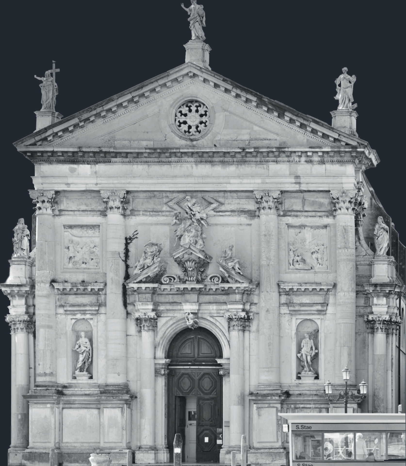
drag the handle to compare photo and CAD drawing
Three steps, from frame to technical drawing
A photograph, a rectified photoplan, an elevation or a photogrammetric orthophoto. JPG, PNG or WebP up to 40 MB, from desktop or straight from your phone camera.
The computer vision engine extracts edges and geometry and converts them into clean vector paths, ready for CAD rather than a decorative outline. Typically 60–120 seconds, around 90 on average. High-resolution photoplans and highly articulated elevations can take longer.
Pick two points of known length on the SVG preview, type the real distance, and download a DXF already in real millimetre scale.
Survey cases on architecture and cultural heritage
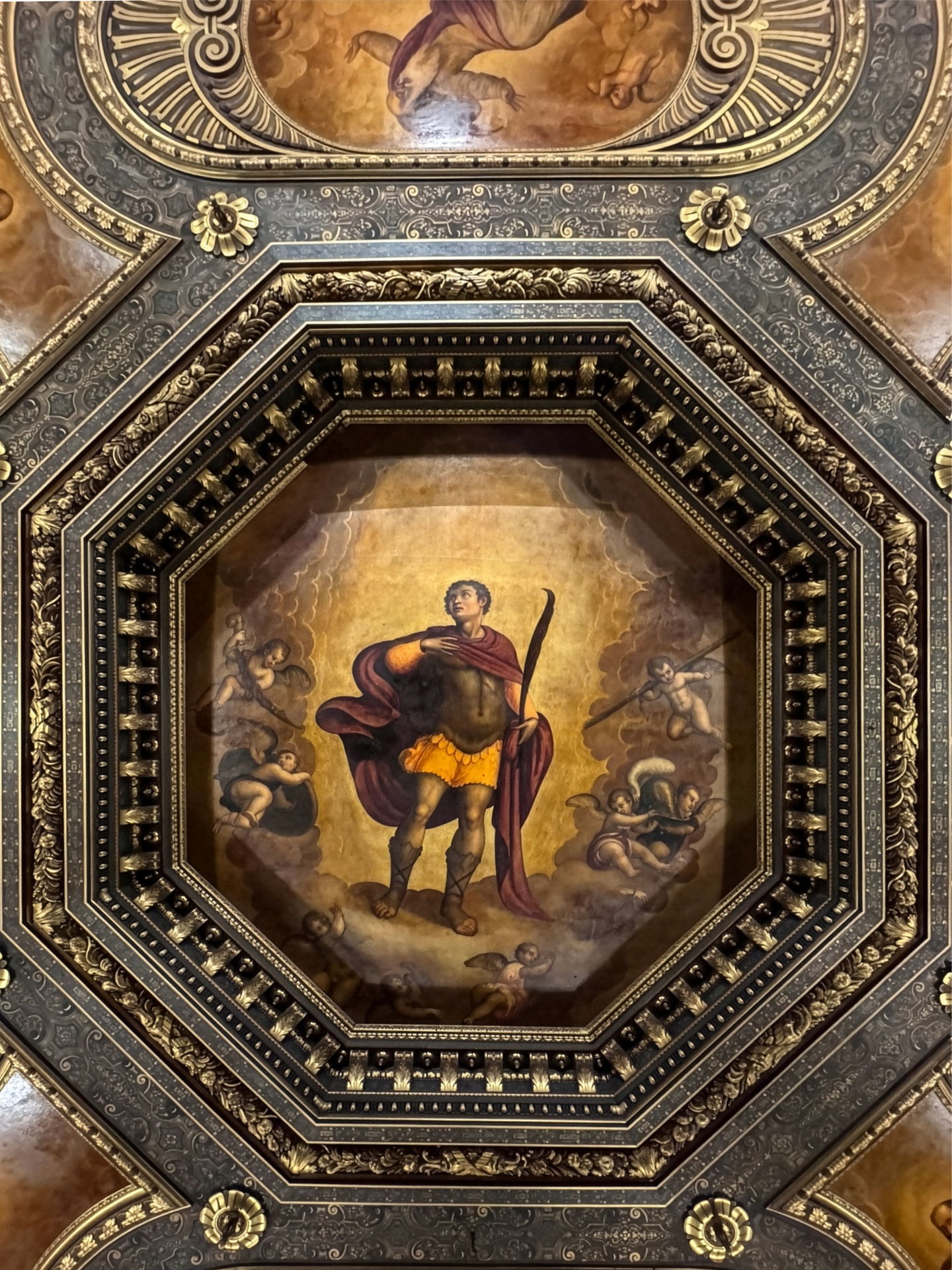
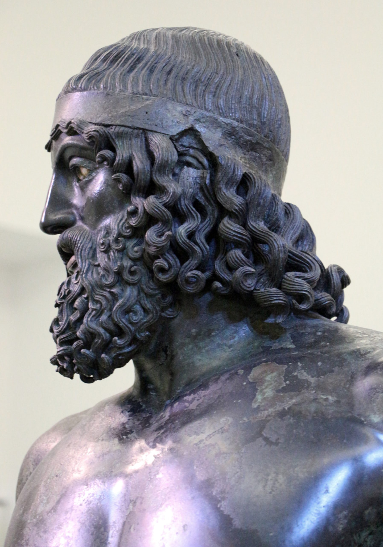
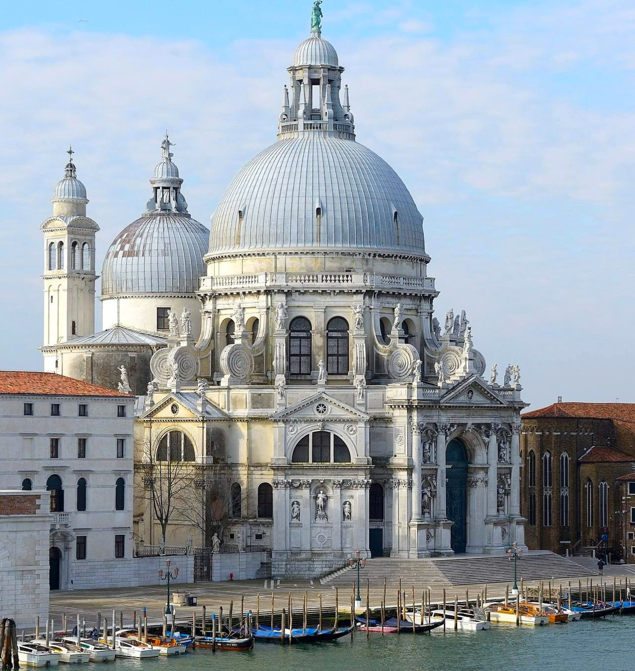
Real conversions, from photograph to vector. Drag the handle on each example to compare the source image with the generated drawing.
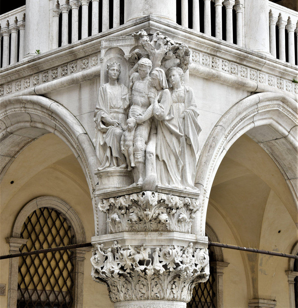
For those who document heritage
Facades, elevations and masonry returned as editable polylines, ready for as-found drawing sets.
Facade patterns, window frames and cladding panels to document what was actually built.
Outlines of colour fields, lacunae, fills and day joints as a base for thematic conservation drawings.
Fields, borders and edges of mosaic areas traced for quantity take-off and lacuna mapping.
Compositional outlines for cataloguing records, comparisons and conservation documentation.
Profiles of mouldings, coves, fillets and relief motifs extracted from raking-light chiaroscuro.
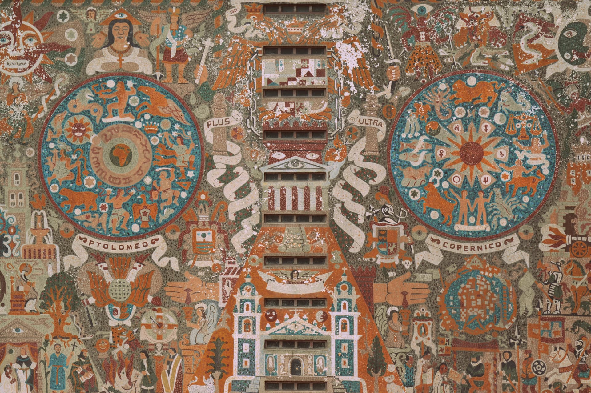
drag the handle to compare photo and CAD drawing
Files that fit your workflow
- JPG, PNG, WebP up to 40 MB
- Orthophotos and rectified photoplans
- Direct camera capture
- Editable vector SVG
- DXF for AutoCAD R2013 (from R2010)
- Raster line-art reference
- AutoCAD, BricsCAD, Rhino
- QGIS and QField
- Illustrator, Inkscape, Affinity
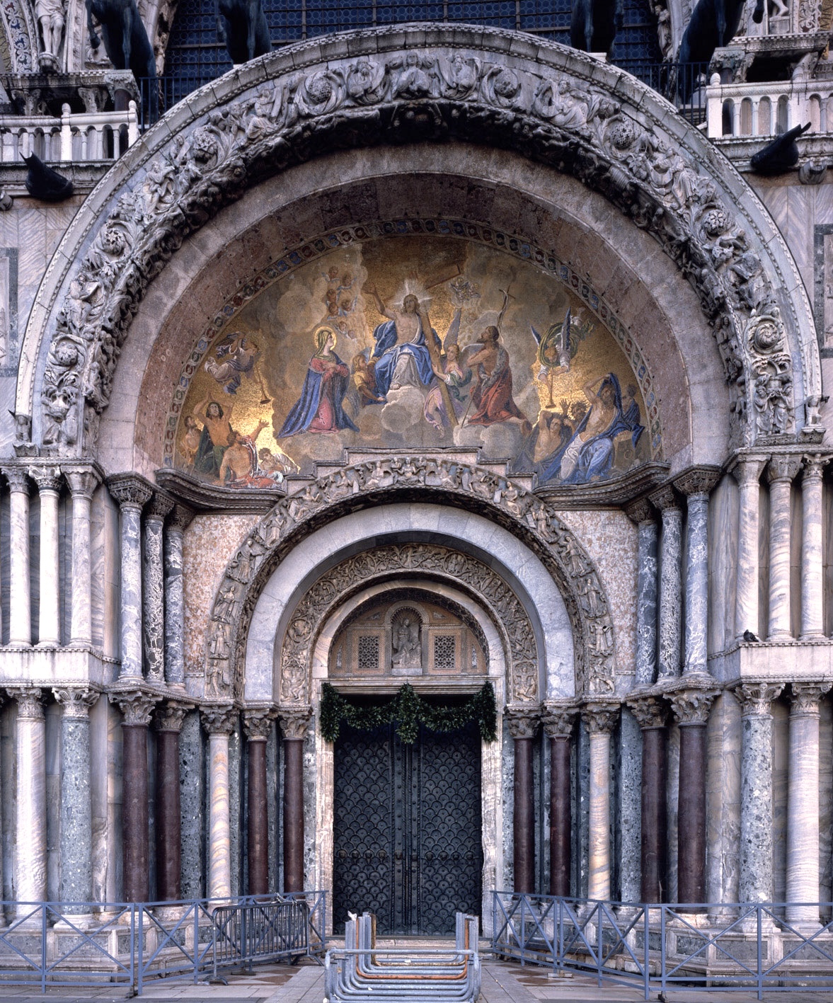
drag the divider to compare photograph and CAD drawing
Main portal, St Mark's Basilica — Venice
A round arch with carved archivolts, a mosaic lunette and orders of columns. A useful case to assess output on surfaces with strong chromatic variation: the vector drawing separates architectural geometry from the mosaic layout.
- Arch and archivolts
- Lunette outlines
- Base for 1:50 drawings
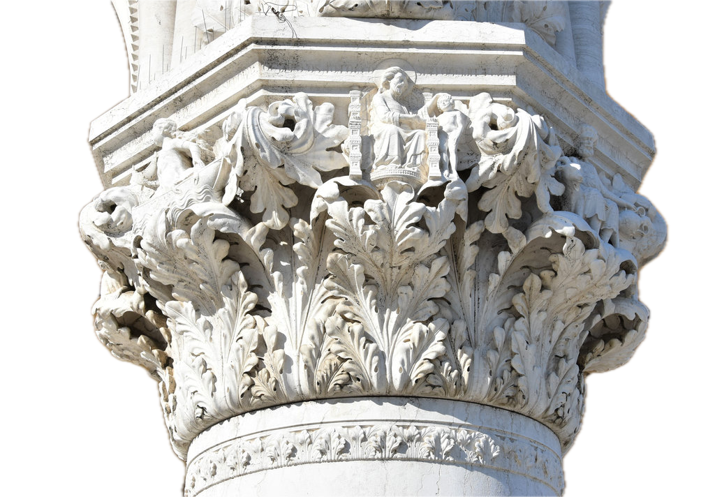
drag the divider to compare photograph and CAD drawing
Capital with acanthus leaves — Doge's Palace
An isolated modelled element shot in raking light. Chiaroscuro guides recognition of the relief planes: the resulting profiles can be used for templates, comparisons between repeated elements and catalogue records.
- Raking light
- Profiles for templates
- Cataloguing
Your surveys stay yours
Documentation commissioned by public bodies and heritage authorities means binding confidentiality. Uploaded files are never public and are deleted automatically after five days.
No public URLs and no indexing: each account can only reach its own folder, enforced by database rules.
Previews and downloads are served through temporary links generated for your session, which expire on their own.
Photographs, line-art and SVG/DXF archives are permanently removed. You can also request earlier deletion.
Your images and drawings never feed models, are never published as examples and are never shared with third parties.
The questions we get most often
Do I need an account to try it?
Yes, but signing up is free and the first conversion is included: you upload a photo, generate the vector output and judge the quality before spending anything. The account exists to tie your files to your own private store. Pricing and credits →
What does a conversion cost?
One credit per conversion, with no subscription: one-off packs of 1 credit at 1.99 EUR, 3 credits at 4.99 EUR and 20 credits at 29.99 EUR. Downloading the SVG and DXF of that conversion costs nothing extra. See the packs →
How long does a conversion take?
Typically 60–120 seconds, around 90 on average. High-resolution photoplans and highly articulated elevations can take longer. How it works →
Can the drawings be used in professional commissions?
Yes: the drawings are yours and can be used without restriction, public tenders included. They remain a base to be checked, though: metric responsibility stays with whoever signs the drawing. How it works →
Try CVCAD on your next survey.
Sign up and run a free preview conversion: upload a photo, calibrate the scale and unlock the SVG and DXF download with 1 credit.